MM 365.7For volunteer fire, paid departments and EMS
Out on the ranchor downtown.
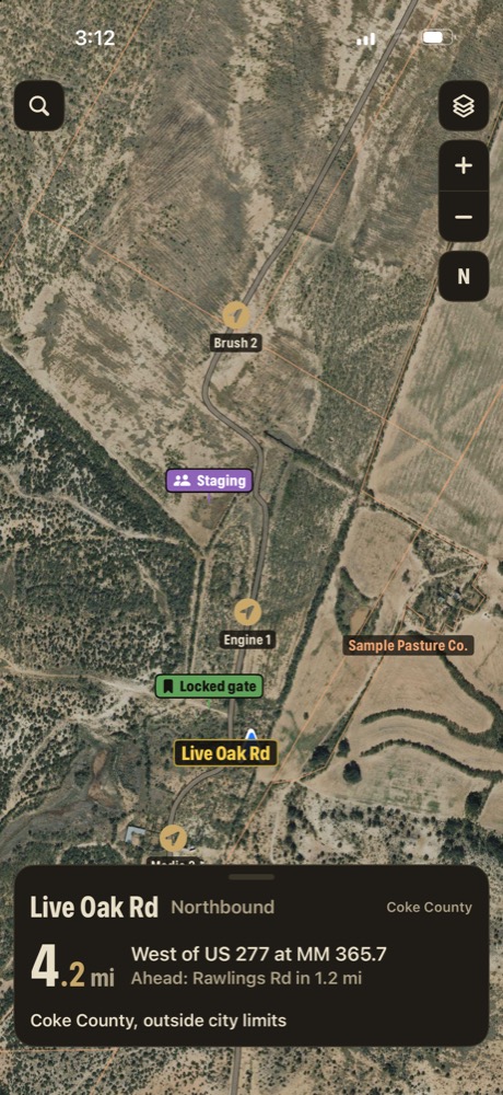
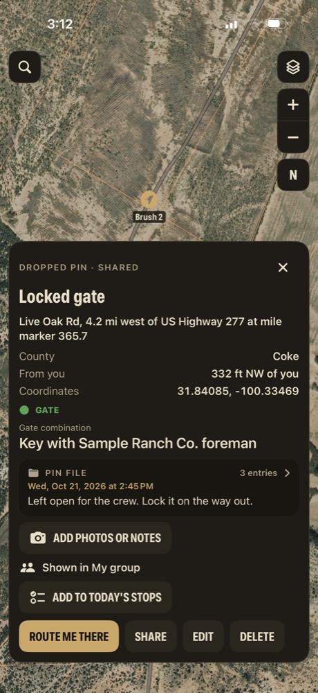
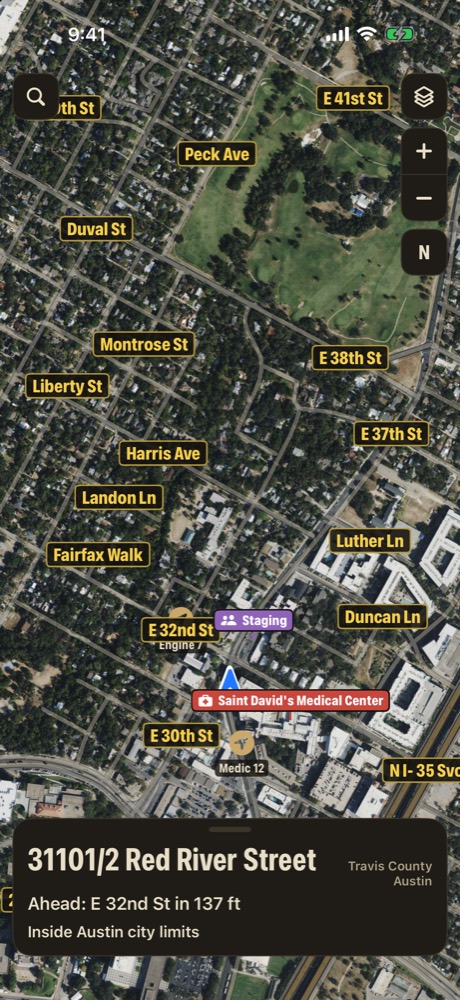
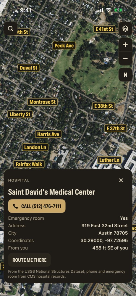
The mile marker and the nearest 911 address, landowners and gates on ranch roads, every unit on one map, and the nearest ER one tap away. In the country and in the city.
Yes, in the regions you download: mile marker readings, 911 addresses, landowners, the offline map and offline routes all work with no signal. Satellite view, Apple Maps directions and group updates need signal.
Is this a dispatch or CAD system?
No. Mile Marker TX doesn't dispatch, doesn't call 911 and doesn't replace your CAD, your radio or your department's maps. It's a location tool for the crew in the truck.
Can we put patient information in pin files?
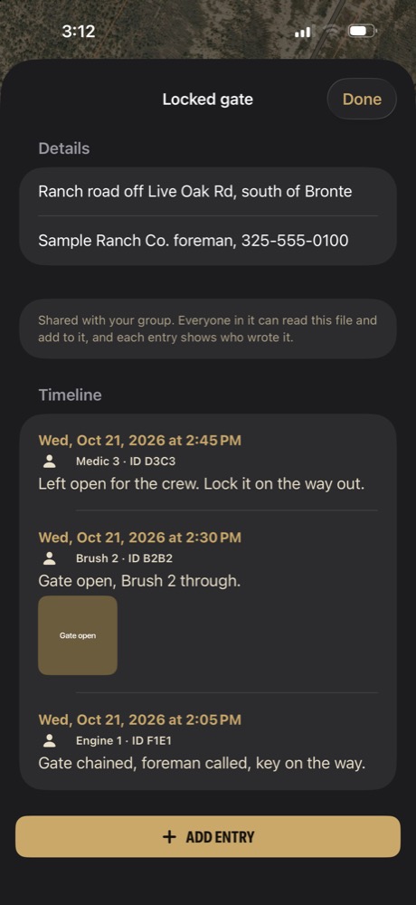
No. Pin files are for places: gates, water sources, crossings, staging areas. Keep patient and incident details out of them, and follow your department's policy.
Who can see our units?
Only phones that enter the same share code, and only while each person has Share my location on. Updates need signal and can lag, and positions older than 15 minutes are hidden. Don't use it as your only source of where units are.
Does it cover the whole state?
All 254 Texas counties, in 24 regions. You pick and download the regions you work in. Large metro regions take a minute or two to open the first time.
What will it cost?
Mile Marker TX will be free to download. Accounts and paid features are planned for later.
MM DEMO
Request a department demo
We'll show you the location card, gates and pins on ranch roads, units on one map and the emergency places layer, and answer your questions.
Mile Marker TX is coming soon for iPhone. This registers your interest. It isn't a contract or a commitment.
 Mile Marker TX